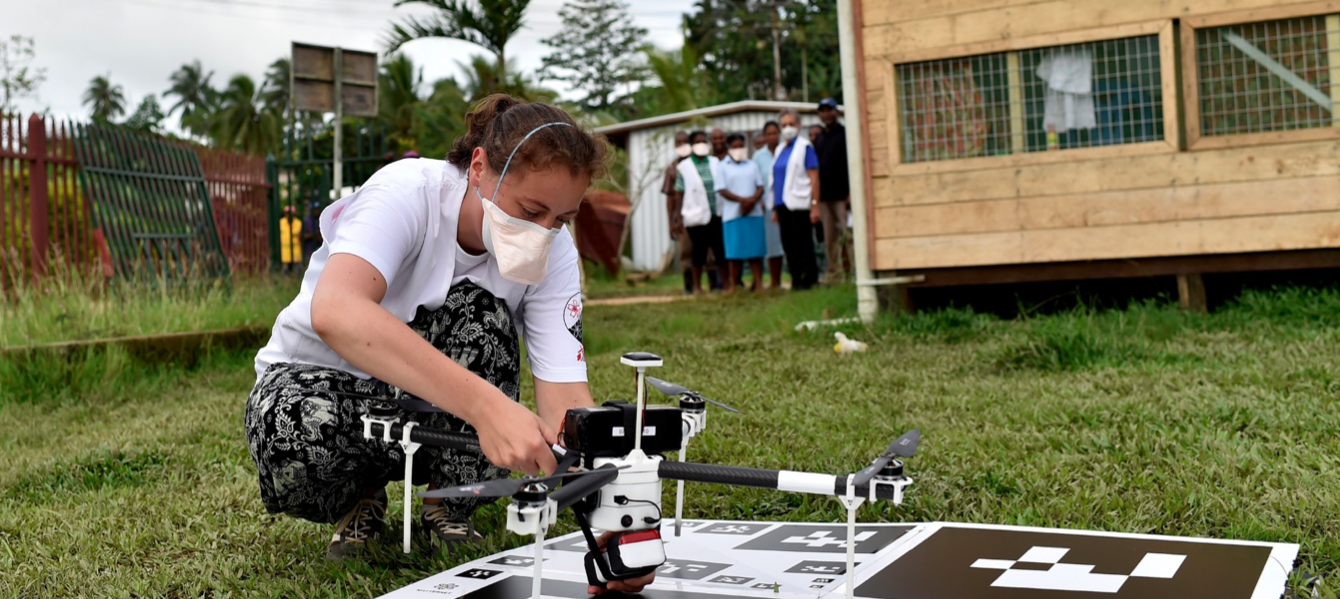
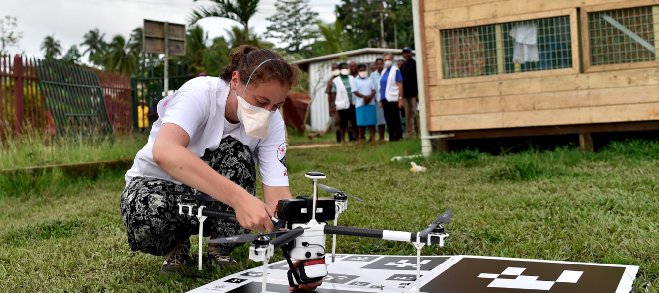
Aerial imagery – often produced by UAVs – is used increasingly often during rescue operations and humanitarian aid. The advantages are numerous: searching for survivors, assessing damages, and identifying access routes for relief workers.
The problem: the delay in processing visual data is too long with the usual software – the answers are not coming fast enough to those on the ground. Often, rescuers cannot wait for the software to finish processing the data following the UAV flights, and these images are useless if they cannot be used quickly. Luxury postcards.
Some solutions are in the works. First, instead of “raw” data processing, it seems that it would be possible to run analysis software that will have learned to recognize patterns caused by various types of disasters. The software would use algorithms that allow it to determine what kind of structures existed before the catastrophe. The MicroMappers platform shows promises in this regard. However, there still remains some level of inaccuracy with this approach, and post-processing delays persist.
If the Internet is present in the disaster area, then “crowdsourcing” could offer an alternative. Here, the images are relayed in real time from the UAV to a web platform to which participants are connected. The Internet users watch these images unfurl; they click the image portions where an element of interest might be located. A software program then correlates the answers, and communicates the results to relief workers on the ground. Tests conducted in collaboration with the University of Southampton appear to give positive results.
The best solutions to the challenges of Big visual Data will propose a combination of these methods and others; they’ll gradually tend towards algorithms allowing real-time image analysis on board the UAVs.
Photo credits: iRevolution & MicroMappers


