-

Services
In precision agriculture, you need to acquire the right information at the right time.
-
Services
In precision agriculture, you need to acquire the right information at the right time.
-
Services
In precision agriculture, you need to acquire the right information at the right time.
We talk about us
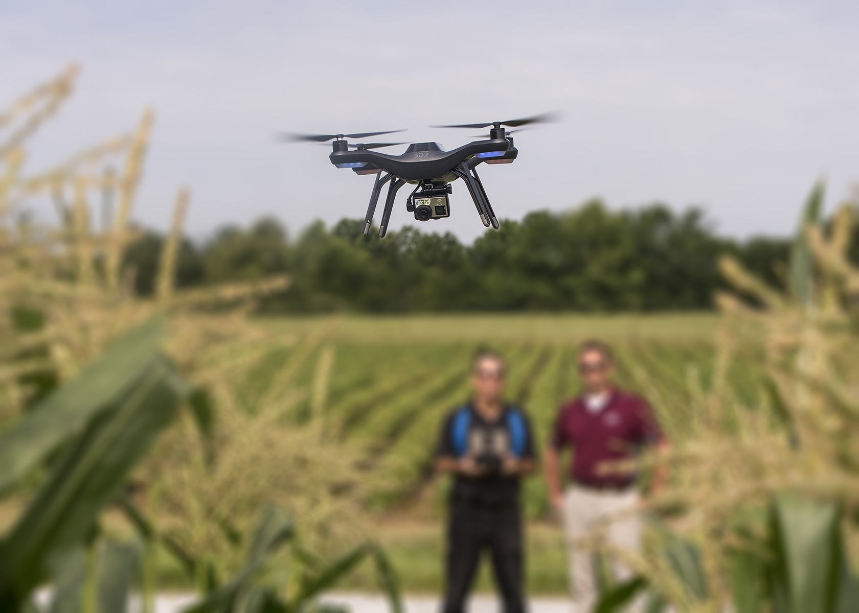
Aerial Imaging
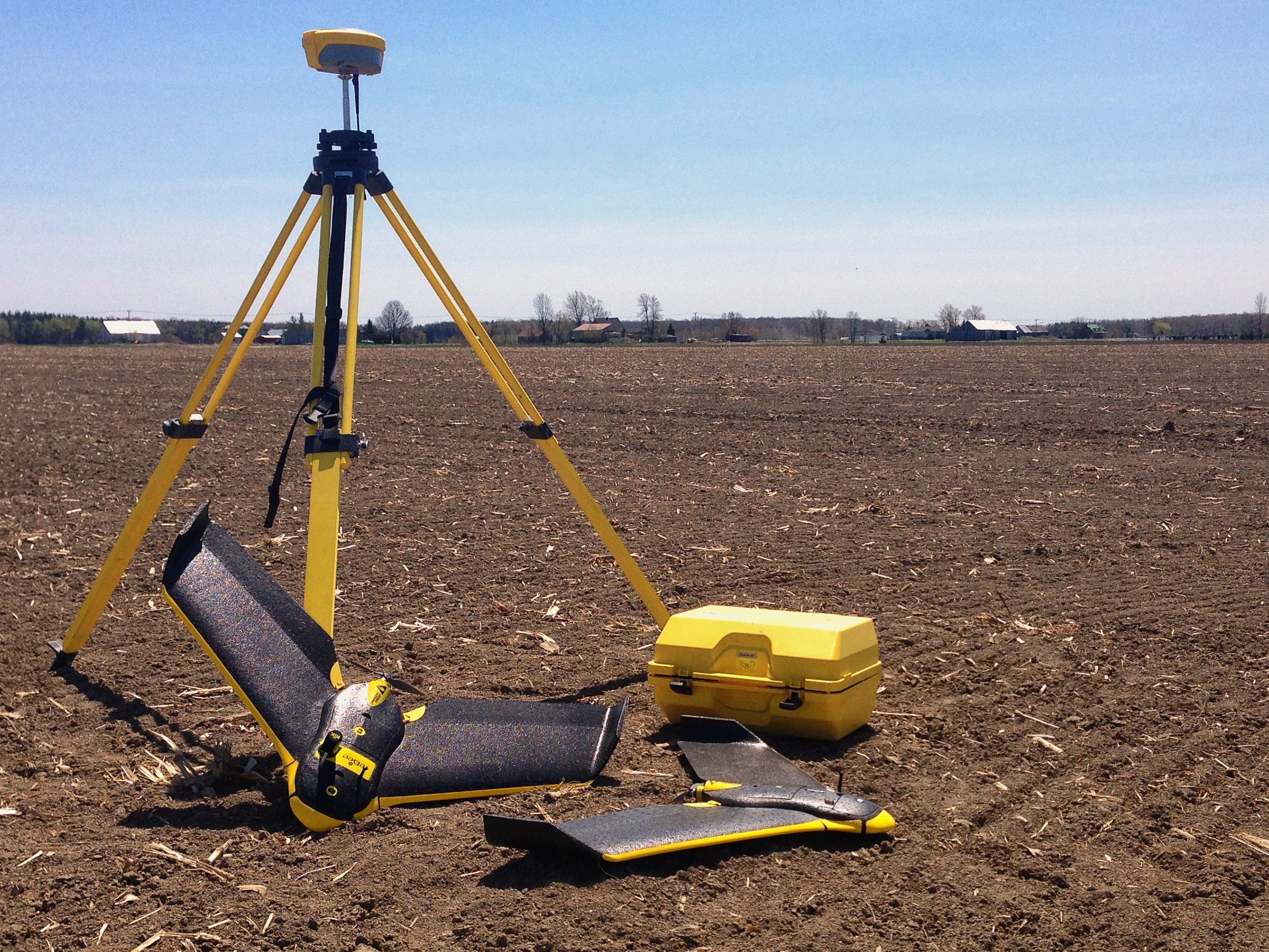
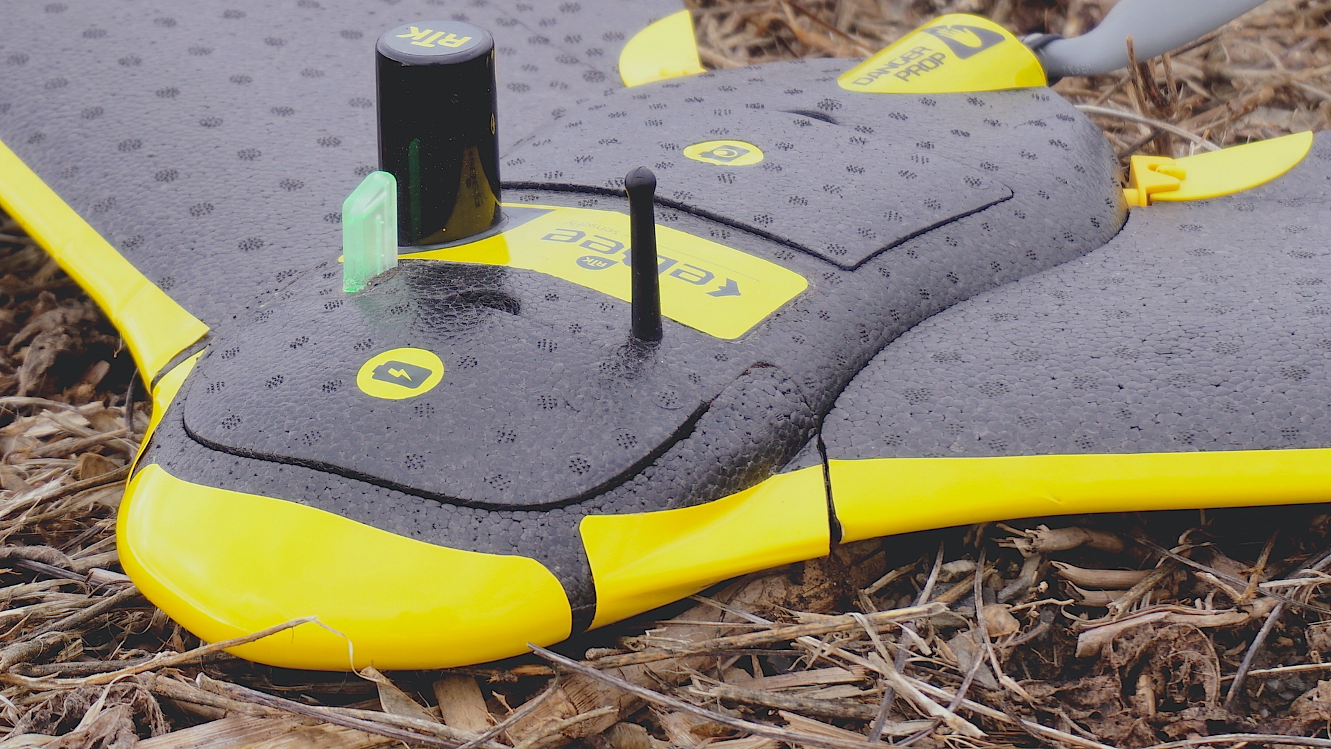
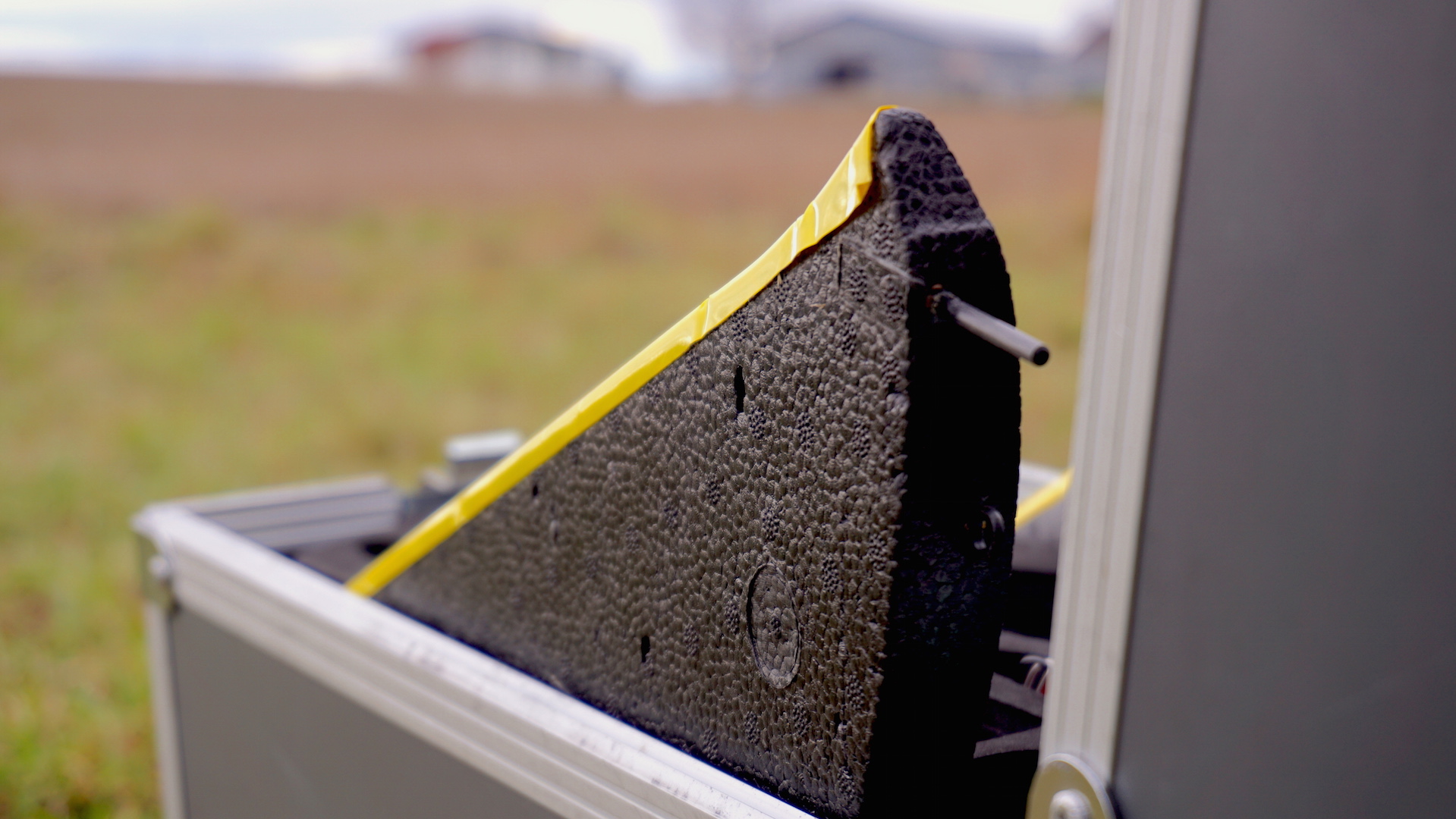
In precision farming, you need to acquire the right information at the right time. Within a short time frame, Canopée quickly generates detailed images of the fields. These portraits captured at very high resolution are among the best tools for decision-making for producers.
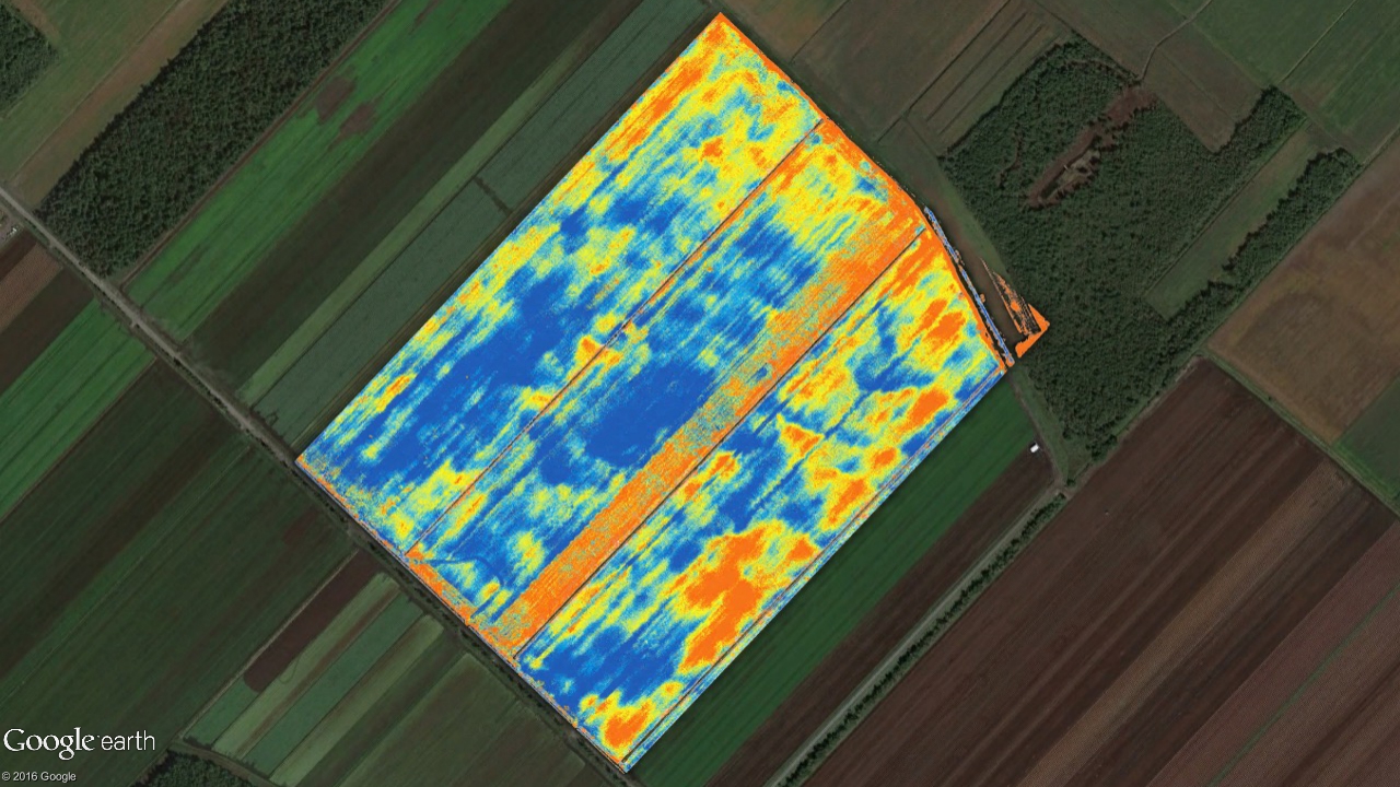
Canopée offers producers ways to detect problems in their fields: pests, weeds, stress, drainage and compaction problems, etc. In many cases, the information provided by Canopée allows producers to anticipate problems that are not yet visible to the naked eye - through infrared imaging. In addition, by accurately locating sites where interventions are required, Canopée helps to save time and reduce input applications.
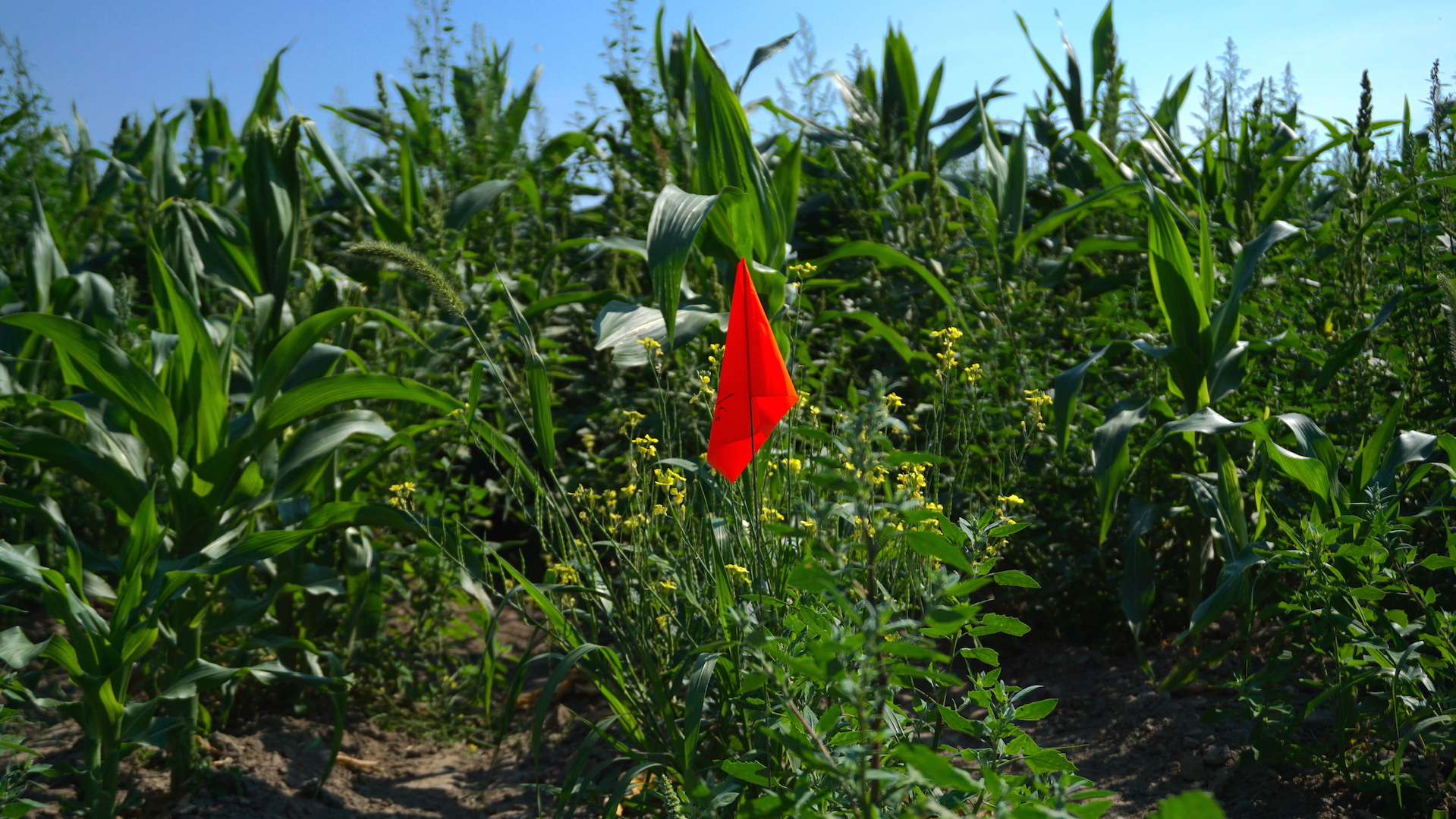
Several key areas of aerial imagery by UAV are being actively investigated by Canopée, including advanced methods for counting plants on very large areas at all stages of plant development.
Imaging Products:
- Geo-referenced orthophotos
- Infrared indexed imagery (NDVI, SAVI, MSAVI2, etc.)
- Counting of plants on very large areas
- High definition aerial photography
Digital modeling, microtopography and measurements
With its airborne data sensing systems, Canopée is able to meet all airborne data requirements - including surveys that are used to produce digital (Surface / Terrain) models.
Different methods are known to produce digital models. With state-of-the-art tools and sensors, Canopée develops methods to produce the highest accuracy readings. Canopy systems make it possible to make surveys of the bare soil, the surface of the plants and the structure.
Modeling products:
- Production of leveling and drainage plans
- Calculation of the height of the plants
- Analysis of plant vigor variability
- Calculating the volume of piles or anfractuosities
Why trust us?
For the accuracy of our topographic surveys ¹
Horizontal axis
Vertical axis
Points / Ha
Compromise

Formation
UAVs appear in increasing numbers in the landscape. Farmers are asking themselves all sorts of questions about their arrival.
What are they for ?
Are they complicated to operate ?
Is it worth getting one or should we hire a service company ?
Canopée offers different training courses for those interested in agricultural drone. These trainings allow producers to familiarize themselves with several aspects of the use of drones in agricultural environments. The participants acquire knowledge and new know-how through the theoretical and practical aspects of training.