
Precision + Agriculture
Canopée helps decision-makers in agriculture and environmental management. With embedded systems that meet different needs, Canopée offers remote sensing, digital elevation model, soil measurement and integrated pest management services.
CONTACT US 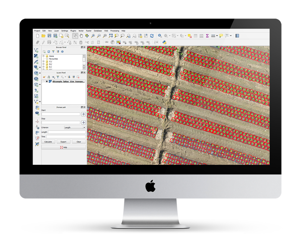
Canopée helps farm producers improve their productivity and reach their environmental management goals.
With precise knowledge of their fields and crops, producers can make better decisions and take action more quickly.
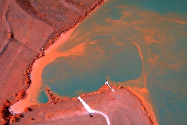
Cyanobacteria – sometimes it’s better not to be so green
Published on 05/04/2016Constantly in the headlines in 2006 and 2007, blue algae are no longer part of…
En savoir plus
Will Montreal become the Silicon Valley of high performance drone-tech?
Published on 11/02/2016The importance of Montreal in aviation, aeronautics and aerospace is well recognized. The city is…
En savoir plus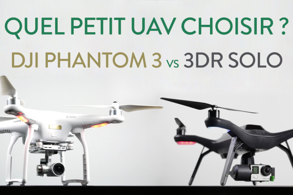
January sales … Which small UAV?
Published on 28/12/2015We often hear the question: DJI’s Phantom 3, or 3D Robotics’s Solo? Two very capable…
En savoir plus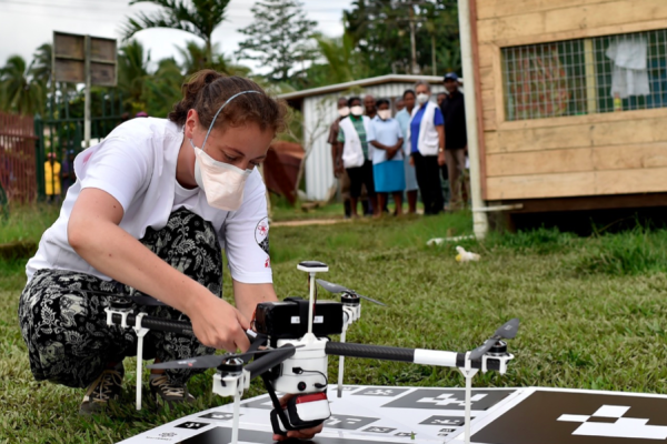
Humanitarian aid: aerial imagery and the challenges of Big Data
Published on 09/12/2015Aerial imagery – often produced by UAVs – is used increasingly often during rescue operations…
En savoir plus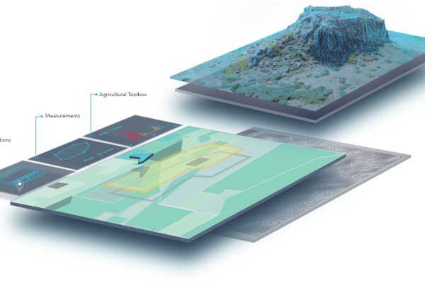
A Mosaic Of A Million Acres Using A UAV
Published on 27/11/2015For the past several months, San Francisco’s DroneDeploy has been developing web-based software used to…
En savoir plus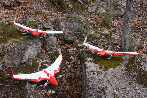
AVA: Advanced VTOL Autonomy – Or: The Barn Of Doctor Moreau
Published on 17/11/2015In a barn lost in the countryside of New Hampshire – land of farms, freedom…
En savoir plusOur partners