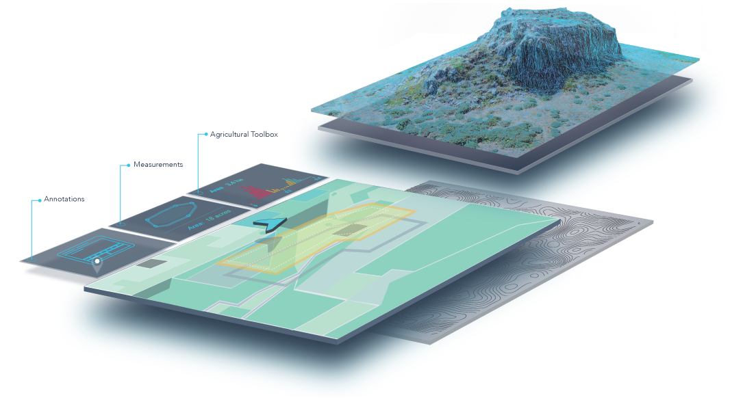
For the past several months, San Francisco’s DroneDeploy has been developing web-based software used to produce photo mosaics and 3D models. The software has just recently come out of beta.
What’s new is that the company just demonstrated the capacity of its system to handle huge amounts of data.
It just announced that one of its customers, Skylab Industries, has created a highly accurate mosaic that covers over a million acres. The project documents a 1000-km band along Mexican roads using no less than 114,000 individual images. The head of this project, Sergio Serrato, said, “our other mosaic production software could not process this amount of data. ”
You can view a sample of Skylab Industries’ work here: http://goo.gl/cXc0fe
DroneDeploy offers three versions of its online software service, running on a monthly subscription basis. The free “Explorer” version allows 5 projects per month at a maximum resolution of 20 cm per pixel. Their full “Precision” package has many advanced options and allows a resolution of up to 1 cm per pixel.
If you want to work with indices such as NDVI, you will need at least their middle version, the “Pro”, which costs $ 99 per month. Like most services of this kind, you get a month-long free trial of the full versions. Of particular interest to those who work with vegetation: the NDVI module of the advanced versions offers a number of algorithms that allow you to play around with different colour gradients and contrasts, with results displayed on the screen in real time.
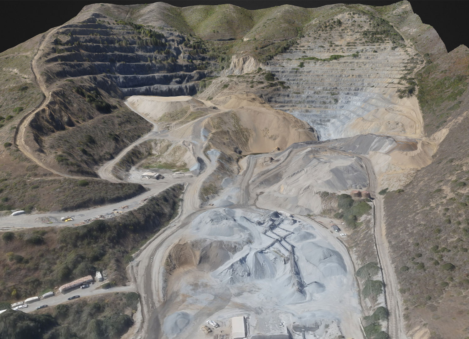 Guadalupe Valley, San Bruno
Area: 185 Acres // Flight time: 32 min. // UAV: 3DR Aero
Post processing: 350 min. // Resolution: 3cm / px // DSM/3D Model
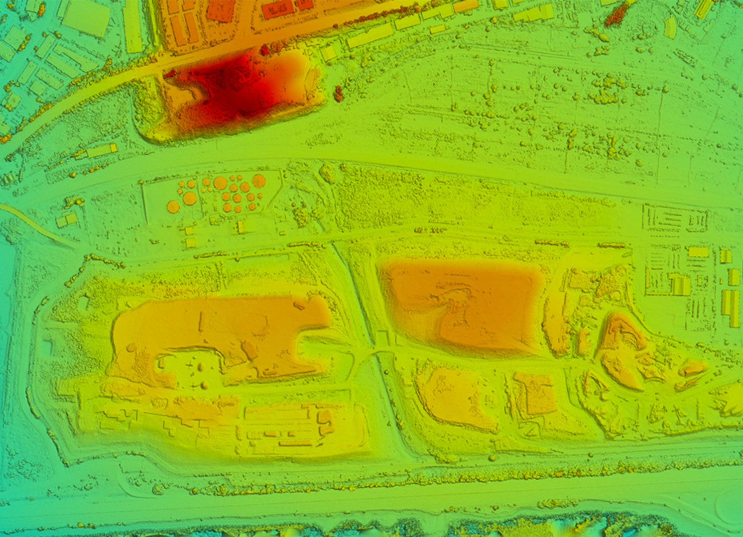 The largest mosaic created by DroneDeploy
Area: 745 Acres // Flight time: 90 min. // UAV:3DR Aero
Post processing: 1958 min. // Resolution: 1cm / px // Orthomosaic, DSM, 3D Model
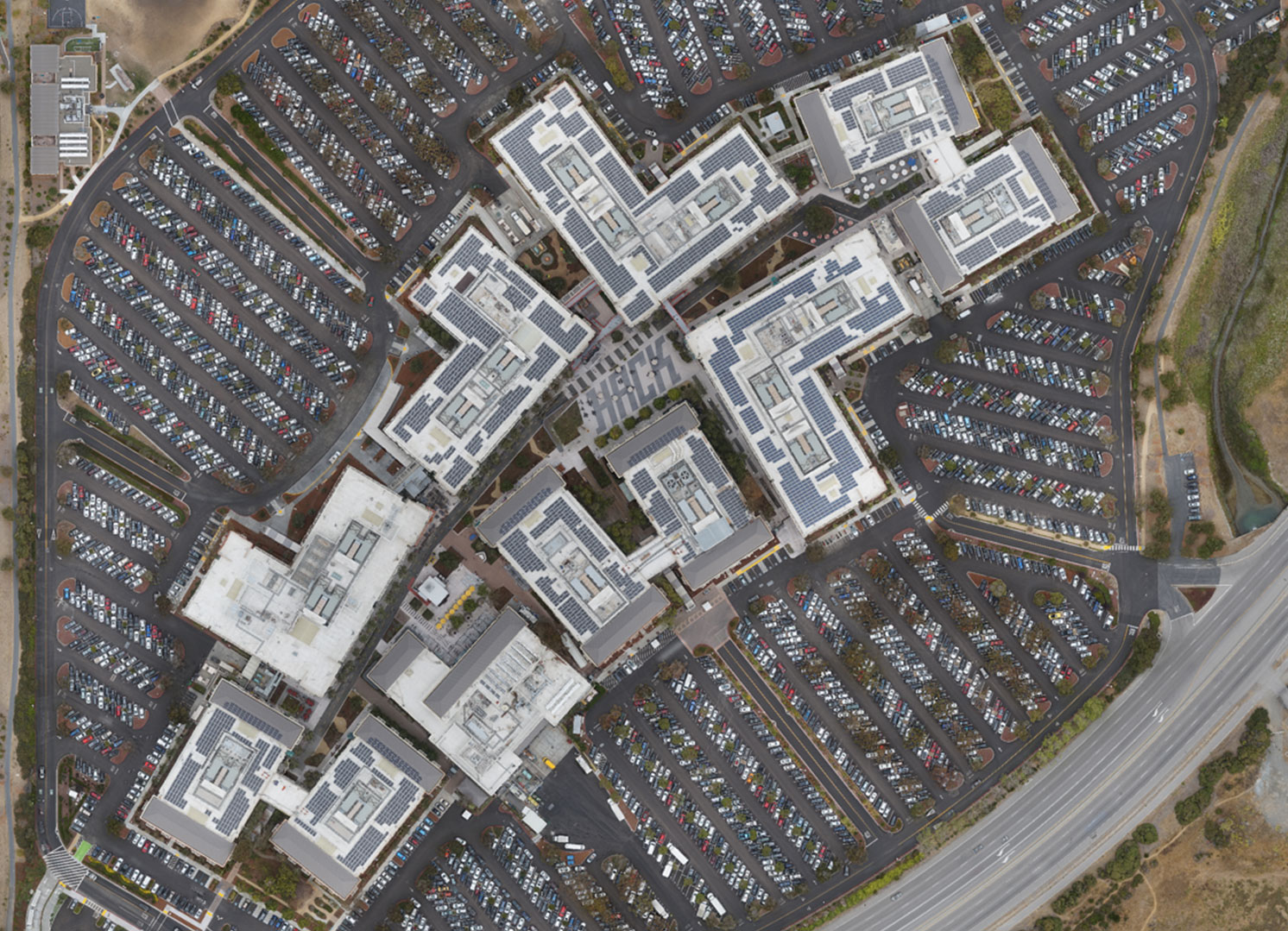 Facebook Campus, Menlo Park. 2326 cars counted by algorithm
Area: 130 Acres // Flight time: 23 min. // UAV:3DR Aero
Post processing: 225 min. // Resolution: 1cm / px // Orthomosaic, DSM, 3D Model
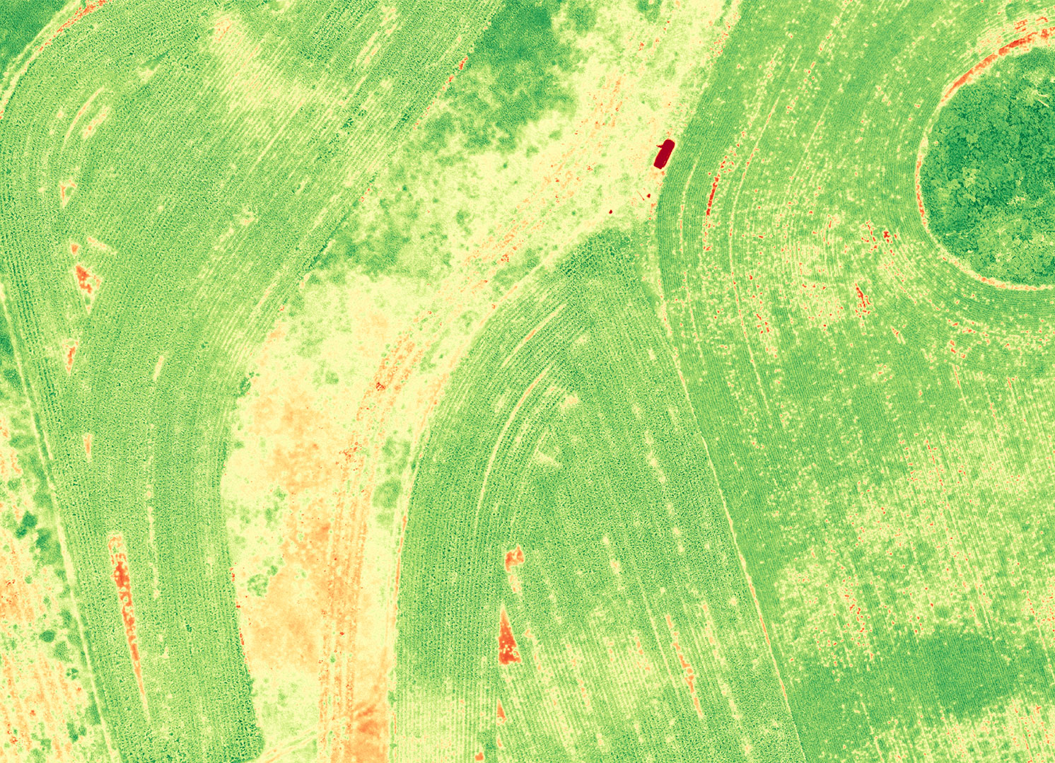 Corn and soybeans, Norm’s farm, Canada
Area: 110 Acres // Flight time: 31 min. // UAV: AgEagle
Post processing: 86 min. // Resolution: 2cm / px // NDVI
Photo credit: DroneDeploy
